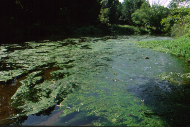
| Crum Creek |
| 100C - Waterfront |
directions and map thumbnail go here |
| 110C - near waterfront |
directions and map thumbnail go here |
| 150C - Black Rock Park |
directions and map thumbnail go here |
| 180C - Ridley Park Lane |
directions and map thumbnail go here |
| 181C - Below Ridley Lake |
directions and map thumbnail go here |
| 195C - Yale. Ave. South |
directions and map thumbnail go here |
| 200C - Yale Ave Dam |
directions and map thumbnail go here |
| 210C - Crum Run |
directions and map thumbnail go here |
| 220C - Dick's Upper Run |
directions and map thumbnail go here |
| 300C - Whiskey Run |
directions and map thumbnail go here |
| 320C - Whiskey Pond |
directions and map thumbnail go here |
| 400C - Pump House Run |
directions and map thumbnail go here |
| 410C - Springhouse |
directions and map thumbnail go here |
| 500C - Hildacy Farm |
directions and map thumbnail go here |
| 510C - Hildacy Pond |
directions and map thumbnail go here |
| 600C - Mill Hollow |
directions and map thumbnail go here |
| Ridley Creek |
| 100R - Taylor Waterfall |
directions and map thumbnail go here |
| 110R - Taylor Pond |
directions and map thumbnail go here |
| 190R - Longpoint Lane |
directions and map thumbnail go here |
| 200R - Rose Valley School |
directions and map thumbnail go here |
| 250R - Rosetree & Ridley |
directions and map thumbnail go here |
| 300R - Back Hawk Spring |
directions and map thumbnail go here |
| 310R - Dismal Run |
directions and map thumbnail go here |
| 320R - Rocky Run |
directions and map thumbnail go here |
| 400R - Sycamore Mills |
directions and map thumbnail go here |
| 500R - Ridley Ck. State Park |
directions and map thumbnail go here |
| 600R - Strausburg Bridge |
directions and map thumbnail go here |
| 650R - Headwaters East |
directions and map thumbnail go here |
